23.06.2026
12 Ways to Cook an Egg


Stratocumulus are the most common cloud type on Earth, covering more of the planet’s surface at any given time than any other formation. They appear as low, lumpy, gray or white sheets that often blanket the sky in patches or rolls, producing little rain but plenty of dreary overcast days. According to NOAA, stratocumulus are especially common over the eastern edges of subtropical oceans, where they play a meaningful role in reflecting sunlight and regulating sea surface temperatures.

Cumulus clouds are the classic, puffy white clouds most people draw as children. They form through convection, when parcels of warm air rise, cool, and condense into flat-bottomed, dome-topped masses. Fair-weather cumulus are typically harmless and short-lived, but as the National Weather Service explains, they can develop vertically into towering cumulus and eventually cumulonimbus if atmospheric conditions support continued upward growth throughout the day.

Cumulonimbus clouds are the largest cloud structures in the troposphere, capable of stretching from near the surface to the tropopause at roughly 40,000 feet or higher. They are the engine behind thunderstorms, capable of producing lightning, hail, heavy rain, and tornadoes. The National Severe Storms Laboratory describes the anvil-shaped top of a mature cumulonimbus, which forms when rising air hits the tropopause and spreads horizontally, as one of the most recognizable signs that severe weather is either happening or imminent nearby.

Lenticular clouds form when stable, moist air flows over a mountain or hill and is pushed into a wave pattern on the downwind side. They’re stationary despite the strong winds passing through them, which has made them a persistent source of UFO reports since the mid-20th century. NASA has noted that lenticular clouds can develop stacked, layered formations that resemble a pile of discs, particularly when multiple wave crests align at different altitudes.

Kelvin-Helmholtz clouds are one of the rarest and most visually striking formations in the sky, appearing as a series of breaking wave crests along the edge of a cloud layer. They form when two air layers at different speeds create shear along their boundary — the faster layer rolls the slower one into visible curls. According to the American Meteorological Society, the same fluid dynamic principle governs waves on the ocean surface and instabilities inside stars, making this one of the few cloud types named after a physics concept rather than its appearance.
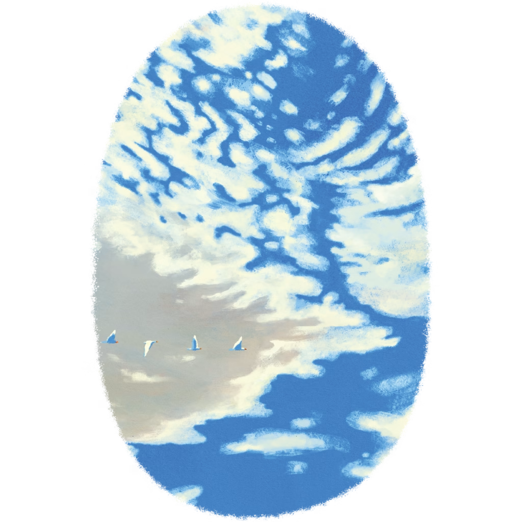
Altocumulus clouds form in the mid-levels of the atmosphere, generally between 6,500 and 20,000 feet. They appear as rounded, white or gray clumps arranged in patches or waves, larger and lower than cirrocumulus. When altocumulus appear in the morning on a warm, humid day it can be a sign that afternoon thunderstorms are possible, as the atmospheric instability needed to form them at mid-levels may continue building toward the surface.

Cirrus clouds are the thin, wispy streaks you see near the top of the troposphere, typically forming above 20,000 feet. They’re made almost entirely of ice crystals, and their feathered or hair-like appearance comes from high-altitude winds stretching those crystals across the sky. According to NOAA, cirrus clouds often appear before a warm front, making them one of the more reliable early signals of changing weather.

Contrails, short for condensation trails, are the white lines aircraft leave behind as they pass through cold, humid air at high altitude. Jet engines expel water vapor that freezes almost instantly into ice crystals, forming a temporary cloud in the aircraft’s wake. As the National Weather Service explains, how long a contrail persists depends on the humidity of the surrounding air — in dry conditions they disappear within seconds, while in humid air they can spread and linger for hours, sometimes resembling natural cirrus.

Cirrocumulus clouds appear as small, rippled patches high in the sky, often arranged in rows that give the sky a fish-scale or “mackerel” texture. Like cirrus, they form above 20,000 feet and are composed mainly of ice crystals. They’re relatively rare and short-lived, but their presence typically signals high moisture content at altitude.
This collection of illustrations moves through the atmosphere like a visual field guide, from the lightest ice-crystal wisps at the edge of space down to the storm towers that reshape the weather below them. Lucia Carlini’s bold colors and clean graphic forms give each formation its own distinct character, making the sky feel like a place worth paying closer attention to.

READY TO EXPLORE?
If you’re the kind of person who wants to do more than just glance up at the clouds, and instead wants to truly learn, identify, and celebrate a journey through the sky, we’ve got you covered.
Spot all 9 cloud formations, check each one off your list, and celebrate with a Clouds poster of your own.


